
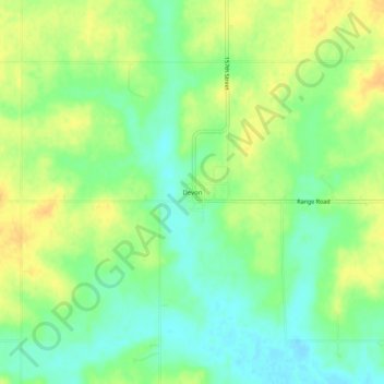
Devon topographic map
Click on the map to display elevation.
About this map
Name: Devon topographic map, elevation, terrain.
Location: Devon, Bourbon County, Kansas, United States (37.90226 -94.83913 37.94226 -94.79913)
Average elevation: 879 ft
Minimum elevation: 833 ft
Maximum elevation: 925 ft
Bourbon County trails, hiking, mountain biking, running and outdoor activities
Other topographic maps
Click on a map to view its topography, its elevation and its terrain.