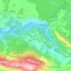
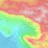
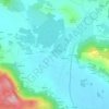
Kučiće topographic map
Click on the map to display elevation.
About this map

Name: Kučiće topographic map, elevation, terrain.
Location: Kučiće, Grad Omiš, Split-Dalmatia County, 21208, Croatia (43.41574 16.77550 43.44667 16.83991)
Average elevation: 902 ft
Minimum elevation: 39 ft
Maximum elevation: 2,536 ft
Other topographic maps
Click on a map to view its topography, its elevation and its terrain.