
蟠龙河 topographic map
Interactive map
Click on the map to display elevation.
About this map
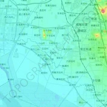
Name: 蟠龙河 topographic map, elevation, terrain.
Location: 蟠龙河, 枣庄市, 山东省, 277600, 中国 (34.69878 117.18301 34.83536 117.26003)
Average elevation: 135 ft
Minimum elevation: 92 ft
Maximum elevation: 581 ft
Other topographic maps
Click on a map to view its topography, its elevation and its terrain.