
山亭 topographic map
Interactive map
Click on the map to display elevation.
About this map
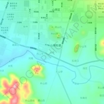
Name: 山亭 topographic map, elevation, terrain.
Location: 山亭, 枣庄市, 山东省, 中国 (35.06412 117.43333 35.10412 117.47333)
Average elevation: 548 ft
Minimum elevation: 407 ft
Maximum elevation: 1,020 ft
Other topographic maps
Click on a map to view its topography, its elevation and its terrain.