
峄城区 topographic map
Interactive map
Click on the map to display elevation.
About this map
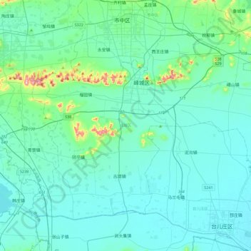
Name: 峄城区 topographic map, elevation, terrain.
Location: 峄城区, 枣庄市, 山东省, 中国 (34.56969 117.38484 34.85102 117.83048)
Average elevation: 200 ft
Minimum elevation: 75 ft
Maximum elevation: 1,181 ft
Other topographic maps
Click on a map to view its topography, its elevation and its terrain.