
朱沟村 topographic map
Interactive map
Click on the map to display elevation.
About this map
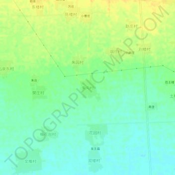
Name: 朱沟村 topographic map, elevation, terrain.
Location: 朱沟村, 枣庄市, 山东省, 中国 (34.61388 117.46556 34.65388 117.50556)
Average elevation: 141 ft
Minimum elevation: 105 ft
Maximum elevation: 180 ft
Other topographic maps
Click on a map to view its topography, its elevation and its terrain.