
Lansing topographic map
Click on the map to display elevation.
About this map
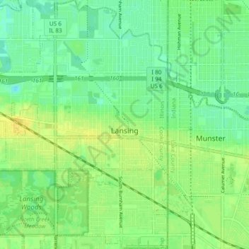
Name: Lansing topographic map, elevation, terrain.
Average elevation: 610 ft
Minimum elevation: 581 ft
Maximum elevation: 640 ft
Cook County trails, hiking, mountain biking, running and outdoor activities
Other topographic maps
Click on a map to view its topography, its elevation and its terrain.
North Pond Nature Sanctuary
United States > Illinois > Cook County > Chicago
Average elevation: 597 ft
Chicago, North Shore & Milwaukee
United States > Illinois > Cook County > Northbrook > Williamsburg Square
Average elevation: 650 ft