
Barlow topographic map
Click on the map to display elevation.
About this map
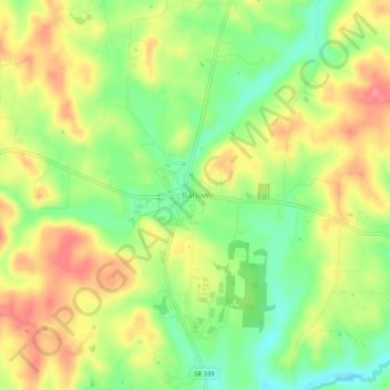
Name: Barlow topographic map, elevation, terrain.
Location: Barlow, Washington County, Ohio, 45712, United States (39.37869 -81.68485 39.41869 -81.64485)
Average elevation: 794 ft
Minimum elevation: 666 ft
Maximum elevation: 915 ft
Washington County trails, hiking, mountain biking, running and outdoor activities
Other topographic maps
Click on a map to view its topography, its elevation and its terrain.