
上亚东乡 topographic map
Interactive map
Click on the map to display elevation.
About this map
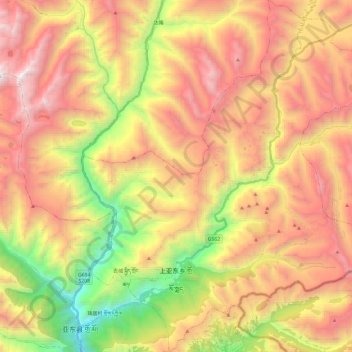
Name: 上亚东乡 topographic map, elevation, terrain.
Location: 上亚东乡, 亚东县, 日喀则市, 西藏自治区, 中国 (27.47472 88.90716 27.68638 89.11589)
Average elevation: 13,809 ft
Minimum elevation: 9,577 ft
Maximum elevation: 17,674 ft
Other topographic maps
Click on a map to view its topography, its elevation and its terrain.