
李营街道 topographic map
Interactive map
Click on the map to display elevation.
About this map
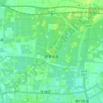
Name: 李营街道 topographic map, elevation, terrain.
Location: 李营街道, 任城区, 济宁市, 山东省, 中国 (35.43018 116.55226 35.53973 116.66644)
Average elevation: 138 ft
Minimum elevation: 121 ft
Maximum elevation: 157 ft
Other topographic maps
Click on a map to view its topography, its elevation and its terrain.