
阜桥街道 topographic map
Interactive map
Click on the map to display elevation.
About this map
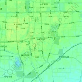
Name: 阜桥街道 topographic map, elevation, terrain.
Location: 阜桥街道, 任城区, 济宁市, 山东省, 272000, 中国 (35.38760 116.57569 35.42401 116.62744)
Average elevation: 135 ft
Minimum elevation: 112 ft
Maximum elevation: 148 ft
Other topographic maps
Click on a map to view its topography, its elevation and its terrain.