
长沟镇 topographic map
Interactive map
Click on the map to display elevation.
About this map
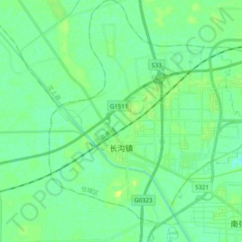
Name: 长沟镇 topographic map, elevation, terrain.
Location: 长沟镇, 任城区, 济宁市, 山东省, 中国 (35.44943 116.39594 35.56113 116.50997)
Average elevation: 128 ft
Minimum elevation: 108 ft
Maximum elevation: 161 ft
Other topographic maps
Click on a map to view its topography, its elevation and its terrain.