
许庄街道 topographic map
Interactive map
Click on the map to display elevation.
About this map
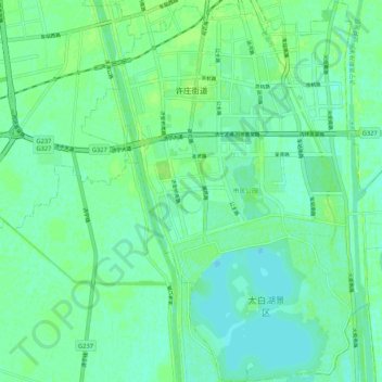
Name: 许庄街道 topographic map, elevation, terrain.
Location: 许庄街道, 任城区, 济宁市, 山东省, 272067, 中国 (35.29750 116.54460 35.38366 116.63538)
Average elevation: 118 ft
Minimum elevation: 102 ft
Maximum elevation: 138 ft
Other topographic maps
Click on a map to view its topography, its elevation and its terrain.