
Ladner topographic map
Click on the map to display elevation.
About this map
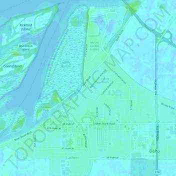
Name: Ladner topographic map, elevation, terrain.
Average elevation: 7 ft
Minimum elevation: -16 ft
Maximum elevation: 39 ft
Other topographic maps
Click on a map to view its topography, its elevation and its terrain.
Annacis Island
Canada > British Columbia > Metro Vancouver Regional District > Delta
Average elevation: 52 ft
Annacis Island
Canada > British Columbia > Metro Vancouver Regional District > Delta
Average elevation: 52 ft