
那吉屯农场 topographic map
Interactive map
Click on the map to display elevation.
About this map
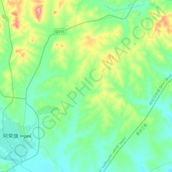
Name: 那吉屯农场 topographic map, elevation, terrain.
Location: 那吉屯农场, 阿荣旗, 呼伦贝尔市, 内蒙古自治区, 中国 (48.08358 123.43432 48.29604 123.75390)
Average elevation: 902 ft
Minimum elevation: 669 ft
Maximum elevation: 1,759 ft
Other topographic maps
Click on a map to view its topography, its elevation and its terrain.