
额尔古纳市 topographic map
Interactive map
Click on the map to display elevation.
About this map
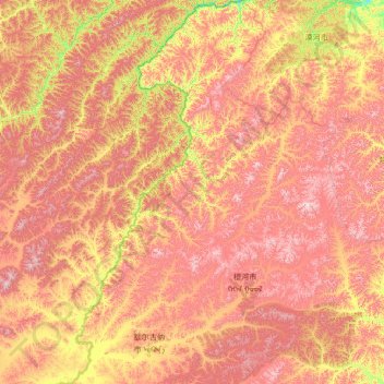
Name: 额尔古纳市 topographic map, elevation, terrain.
Location: 额尔古纳市, 呼伦贝尔市, 内蒙古自治区, 中国 (49.97716 119.14251 53.33406 121.81182)
Average elevation: 2,500 ft
Minimum elevation: 1,027 ft
Maximum elevation: 4,957 ft
Other topographic maps
Click on a map to view its topography, its elevation and its terrain.