
库都尔镇 topographic map
Interactive map
Click on the map to display elevation.
About this map
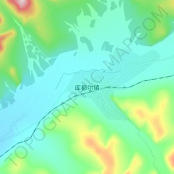
Name: 库都尔镇 topographic map, elevation, terrain.
Location: 库都尔镇, 呼伦贝尔市, 内蒙古自治区, 中国 (49.98634 121.56796 50.06634 121.64796)
Average elevation: 2,890 ft
Minimum elevation: 2,661 ft
Maximum elevation: 3,845 ft
Other topographic maps
Click on a map to view its topography, its elevation and its terrain.