
辉河 topographic map
Interactive map
Click on the map to display elevation.
About this map
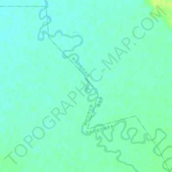
Name: 辉河 topographic map, elevation, terrain.
Location: 辉河, 鄂温克族自治旗, 呼伦贝尔市, 内蒙古自治区, 中国 (48.29488 119.14159 48.31221 119.15822)
Average elevation: 2,293 ft
Minimum elevation: 2,277 ft
Maximum elevation: 2,320 ft
Other topographic maps
Click on a map to view its topography, its elevation and its terrain.