
Gaga topographic map
Click on the map to display elevation.
About this map
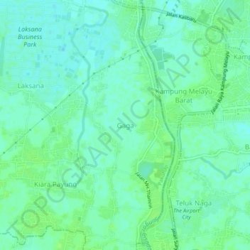
Name: Gaga topographic map, elevation, terrain.
Average elevation: 16 ft
Minimum elevation: 0 ft
Maximum elevation: 30 ft
Other topographic maps
Click on a map to view its topography, its elevation and its terrain.
Scientia Square Park
Indonesia > Banten > Tangerang Regency > Curug Sangereng
Average elevation: 98 ft