
刘家寨子镇 topographic map
Interactive map
Click on the map to display elevation.
About this map
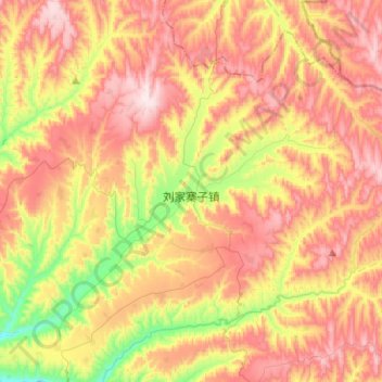
Name: 刘家寨子镇 topographic map, elevation, terrain.
Location: 刘家寨子镇, 会宁县, 白银市, 甘肃省, 中国 (36.17985 105.22148 36.35831 105.47360)
Average elevation: 6,608 ft
Minimum elevation: 5,623 ft
Maximum elevation: 7,480 ft
Other topographic maps
Click on a map to view its topography, its elevation and its terrain.