Geolocate

Pendleton topographic map

Click on the map to display elevation.

About this map

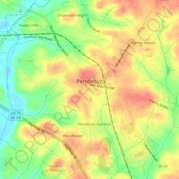
Name: Pendleton topographic map, elevation, terrain.

Location: Pendleton, Anderson County, South Carolina, United States (34.63231 -82.80128 34.66602 -82.75966)

Average elevation: 787 ft

Minimum elevation: 679 ft

Maximum elevation: 869 ft

Anderson County trails, hiking, mountain biking, running and outdoor activities

Other topographic maps

Click on a map to view its topography, its elevation and its terrain.

New Light

United States > South Carolina > Anderson County

Average elevation: 755 ft

Townville

United States > South Carolina > Anderson County

Average elevation: 751 ft

Campbell

United States > South Carolina > Anderson County

Average elevation: 755 ft

Lakefront

United States > South Carolina > Anderson County

Average elevation: 705 ft

Starr

United States > South Carolina > Anderson County

Average elevation: 745 ft

Gear up for your next adventure:

🌧️Backpack Rain Cover - Keep gear dry in wet weather
📌Outdoor GPS Map App - Apps and devices for digital topographic navigation
📦Gear Storage Bags - Organize and protect outdoor equipment
💧Water Filtration Bottles - Safely drink from streams and lakes while exploring
🧢Outdoor Hiking Hat - Sun protection hat for outdoor explorers

As an Amazon Associate, this site earns from qualifying purchases at no extra cost to you.