Geolocate

Minnie topographic map

Click on the map to display elevation.

About this map

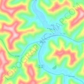
Name: Minnie topographic map, elevation, terrain.

Location: Minnie, Floyd County, Kentucky, 41651, United States (37.45232 -82.77405 37.49232 -82.73405)

Average elevation: 1,037 ft

Minimum elevation: 659 ft

Maximum elevation: 1,575 ft

Floyd County trails, hiking, mountain biking, running and outdoor activities

Other topographic maps

Click on a map to view its topography, its elevation and its terrain.

Wheelwright

United States > Kentucky > Floyd County

Average elevation: 1,460 ft

Allen

United States > Kentucky > Floyd County

Average elevation: 856 ft

Martin

United States > Kentucky > Floyd County

Average elevation: 883 ft

Gear up for your next adventure:

🔋Solar Power Banks - Keep your GPS and phone charged in remote wilderness areas
👓Polarized Sunglasses - Outdoor sunglasses for glare reduction
🧢Outdoor Hiking Hat - Sun protection hat for outdoor explorers
🔭Telescopic Hiking Pole - Adjustable pole for hiking stability
🧦Hiking Socks - Comfortable socks to prevent blisters on long hikes

As an Amazon Associate, this site earns from qualifying purchases at no extra cost to you.