
North Shewa (Amhara Region) topographic map
Interactive map
Click on the map to display elevation.
About this map
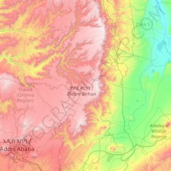
Name: North Shewa (Amhara Region) topographic map, elevation, terrain.
Location: North Shewa (Amhara Region), Amhara, Äthiopien (8.71589 38.65810 10.74537 40.08973)
Average elevation: 5,932 ft
Minimum elevation: 1,814 ft
Maximum elevation: 12,005 ft
Other topographic maps
Click on a map to view its topography, its elevation and its terrain.