Geolocate

Kone ? topographic map

Interactive map

Click on the map to display elevation.

About this map

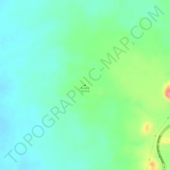
Name: Kone ? topographic map, elevation, terrain.

Location: Kone ?, North Shewa (Amhara Region), Amhara, Äthiopien (8.84332 39.69816 8.84342 39.69826)

Average elevation: 4,262 ft

Minimum elevation: 4,160 ft

Maximum elevation: 4,505 ft

Other topographic maps

Click on a map to view its topography, its elevation and its terrain.

Satima

Äthiopien > Amhara

Satima, West-Godscham, Amhara, Äthiopien

Average elevation: 8,406 ft

ደባርቅ

Äthiopien > Amhara

ደባርቅ, Nord-Gonder, Amhara, Äthiopien

Average elevation: 9,275 ft

Manu

Äthiopien > Amhara

Manu, Nord-Gonder, Amhara, Äthiopien

Average elevation: 3,468 ft

North Shewa (Amhara Region)

Äthiopien > Amhara

North Shewa (Amhara Region), Amhara, Äthiopien

Average elevation: 5,932 ft

Macanna

Äthiopien > Amhara > Macanna

Macanna, Nord-Gonder, Amhara, Äthiopien

Average elevation: 11,345 ft

Gojam

Äthiopien > Amhara

Gojam, Oromia, Amhara, Äthiopien

Average elevation: 5,768 ft