Geolocate

Lac Cardinal topographic map

Click on the map to display elevation.

About this map

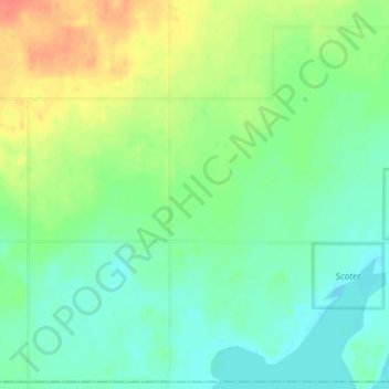
Name: Lac Cardinal topographic map, elevation, terrain.

Location: Lac Cardinal, Division No. 17, Alberta, Canada (56.24667 -117.83667 56.28667 -117.79667)

Average elevation: 2,149 ft

Minimum elevation: 2,096 ft

Maximum elevation: 2,238 ft

Other topographic maps

Click on a map to view its topography, its elevation and its terrain.

Lesser Slave Lake

Canada > Alberta > Division No. 17

Average elevation: 2,313 ft

Gear up for your next adventure:

🪶Multi‑Purpose Knife - Useful blade for camp and trail
🗺️Topographic Maps - Detailed topo maps for hiking, exploring and outdoor navigation
🥄Camping Utensil Set - Lightweight utensils for outdoor meals
🥘Titanium Cookware - Durable, featherlight pots and pans for backpacking
🔋Solar Power Banks - Keep your GPS and phone charged in remote wilderness areas

As an Amazon Associate, this site earns from qualifying purchases at no extra cost to you.