
娜允镇 topographic map
Interactive map
Click on the map to display elevation.
About this map
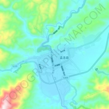
Name: 娜允镇 topographic map, elevation, terrain.
Location: 娜允镇, 孟连傣族拉祜族佤族自治县, 普洱市, 云南省, 665000, 中国 (22.29076 99.54416 22.37076 99.62416)
Average elevation: 3,540 ft
Minimum elevation: 3,120 ft
Maximum elevation: 5,318 ft
Other topographic maps
Click on a map to view its topography, its elevation and its terrain.