
勐马镇 topographic map
Interactive map
Click on the map to display elevation.
About this map
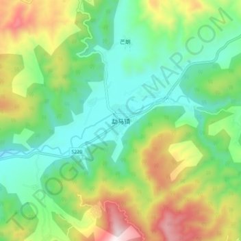
Name: 勐马镇 topographic map, elevation, terrain.
Location: 勐马镇, 孟连傣族拉祜族佤族自治县, 普洱市, 云南省, 665000, 中国 (22.19389 99.33934 22.27389 99.41934)
Average elevation: 3,937 ft
Minimum elevation: 2,818 ft
Maximum elevation: 6,158 ft
Other topographic maps
Click on a map to view its topography, its elevation and its terrain.