
高东镇 topographic map
Interactive map
Click on the map to display elevation.
About this map
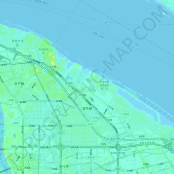
Name: 高东镇 topographic map, elevation, terrain.
Location: 高东镇, 浦东新区, 上海市, 中国 (31.28983 121.58747 31.39294 121.69273)
Average elevation: 10 ft
Minimum elevation: -7 ft
Maximum elevation: 66 ft
Other topographic maps
Click on a map to view its topography, its elevation and its terrain.