
高桥镇 topographic map
Interactive map
Click on the map to display elevation.
About this map
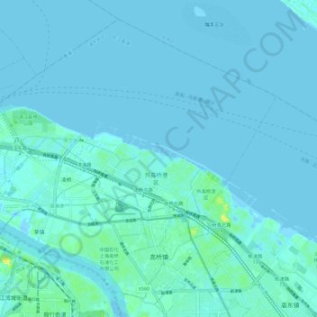
Name: 高桥镇 topographic map, elevation, terrain.
Location: 高桥镇, 浦东新区, 上海市, 200137, 中国 (31.33093 121.49924 31.41678 121.61354)
Average elevation: 7 ft
Minimum elevation: -30 ft
Maximum elevation: 72 ft
Other topographic maps
Click on a map to view its topography, its elevation and its terrain.