
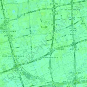
张江镇 topographic map
Interactive map
Click on the map to display elevation.
About this map
Name: 张江镇 topographic map, elevation, terrain.
Location: 张江镇, 浦东新区, 上海市, 中国 (31.15367 121.57084 31.23062 121.66172)
Average elevation: 13 ft
Minimum elevation: 0 ft
Maximum elevation: 23 ft
Other topographic maps
Click on a map to view its topography, its elevation and its terrain.