
Ebenezer topographic map
Click on the map to display elevation.
About this map
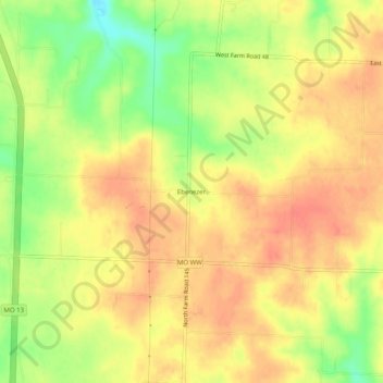
Name: Ebenezer topographic map, elevation, terrain.
Location: Ebenezer, Greene County, Missouri, United States (37.32032 -93.32713 37.36032 -93.28713)
Average elevation: 1,247 ft
Minimum elevation: 1,135 ft
Maximum elevation: 1,312 ft
Greene County trails, hiking, mountain biking, running and outdoor activities
Other topographic maps
Click on a map to view its topography, its elevation and its terrain.