Geolocate

Passu topographic map

Click on the map to display elevation.

About this map

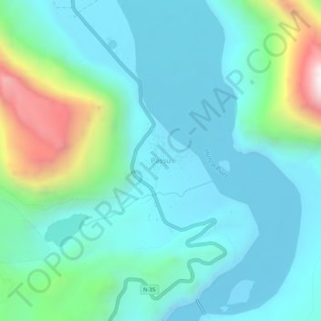
Name: Passu topographic map, elevation, terrain.

Location: Passu, Gilgit-Baltistan, Pakistan (36.44582 74.87433 36.48582 74.91433)

Average elevation: 8,793 ft

Minimum elevation: 7,986 ft

Maximum elevation: 11,939 ft

Other topographic maps

Click on a map to view its topography, its elevation and its terrain.

Astore Tehsil

Pakistan > Gilgit-Baltistan > Astore District

Average elevation: 12,454 ft

Astore District

Pakistan > Gilgit-Baltistan

Average elevation: 12,231 ft

Hunza District

Pakistan > Gilgit-Baltistan

Average elevation: 14,797 ft

Hunza River

Pakistan > Gilgit-Baltistan > Minapin Nagar

Average elevation: 8,855 ft

Shigar River

Pakistan > Gilgit-Baltistan > Skardu

Average elevation: 9,465 ft

Gear up for your next adventure:

Backpacking Tents - Weight-optimized shelters for multi-day topographic surveys
🕶️GPS Smartphone Mount - Secure mount for phone navigation
📚Navigation Handbooks - Master the art of reading topographic maps and using a compass
👖Convertible Hiking Pants - Versatile zip-off pants for changing altitudes and temperatures
🔌Solar Panel Charger - Charge gear sustainably outdoors

As an Amazon Associate, this site earns from qualifying purchases at no extra cost to you.