
马营镇 topographic map
Interactive map
Click on the map to display elevation.
About this map
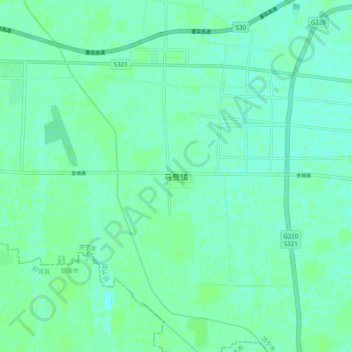
Name: 马营镇 topographic map, elevation, terrain.
Location: 马营镇, 济宁市, 山东省, 中国 (35.75248 115.97294 35.83248 116.05294)
Average elevation: 141 ft
Minimum elevation: 128 ft
Maximum elevation: 151 ft
Other topographic maps
Click on a map to view its topography, its elevation and its terrain.