
独山湖 topographic map
Interactive map
Click on the map to display elevation.
About this map
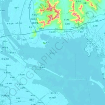
Name: 独山湖 topographic map, elevation, terrain.
Location: 独山湖, 济宁市, 山东省, 中国 (35.02976 116.66200 35.14184 116.88246)
Average elevation: 154 ft
Minimum elevation: 98 ft
Maximum elevation: 1,037 ft
Other topographic maps
Click on a map to view its topography, its elevation and its terrain.