
南阳湖 topographic map
Interactive map
Click on the map to display elevation.
About this map
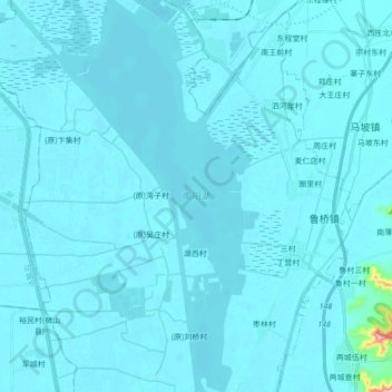
Name: 南阳湖 topographic map, elevation, terrain.
Location: 南阳湖, 济宁市, 山东省, 中国 (35.13784 116.60620 35.27903 116.68484)
Average elevation: 125 ft
Minimum elevation: 98 ft
Maximum elevation: 886 ft
Other topographic maps
Click on a map to view its topography, its elevation and its terrain.