
Pumpkintown topographic map
Click on the map to display elevation.
About this map
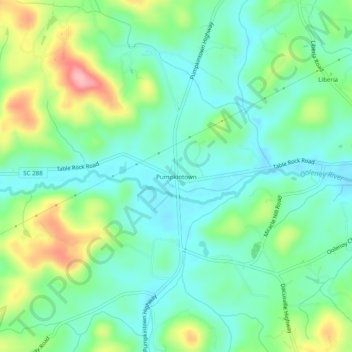
Name: Pumpkintown topographic map, elevation, terrain.
Location: Pumpkintown, Pickens County, South Carolina, United States (34.98290 -82.67291 35.02290 -82.63291)
Average elevation: 1,060 ft
Minimum elevation: 919 ft
Maximum elevation: 1,391 ft
Pickens County trails, hiking, mountain biking, running and outdoor activities
Other topographic maps
Click on a map to view its topography, its elevation and its terrain.
Dawson Park
United States > South Carolina > Pickens County > Clemson > Briarwood
Average elevation: 764 ft
Table Rock State Park
United States > South Carolina > Pickens County > Pickens
Average elevation: 1,788 ft
Table Rock State Park
United States > South Carolina > Pickens County > Pickens
Average elevation: 1,791 ft