
Waldenburg topographic map
Click on the map to display elevation.
About this map
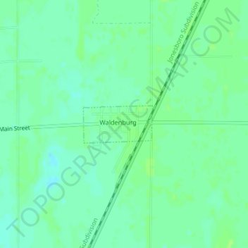
Name: Waldenburg topographic map, elevation, terrain.
Location: Waldenburg, Poinsett County, Arkansas, 72475, United States (35.56322 -90.93916 35.56728 -90.92989)
Average elevation: 240 ft
Minimum elevation: 220 ft
Maximum elevation: 253 ft
Poinsett County trails, hiking, mountain biking, running and outdoor activities
Other topographic maps
Click on a map to view its topography, its elevation and its terrain.