
扬溪镇 topographic map
Interactive map
Click on the map to display elevation.
About this map
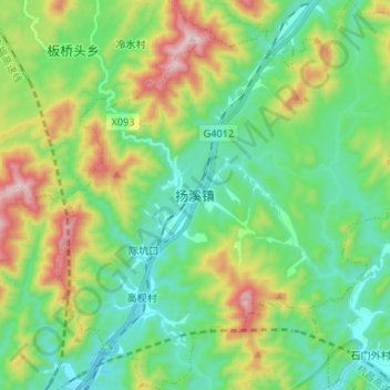
Name: 扬溪镇 topographic map, elevation, terrain.
Location: 扬溪镇, 绩溪县, 安徽省, 中国 (30.09888 118.59686 30.21278 118.72473)
Average elevation: 1,316 ft
Minimum elevation: 574 ft
Maximum elevation: 3,045 ft
Other topographic maps
Click on a map to view its topography, its elevation and its terrain.