
Lier topographic map
Click on the map to display elevation.
About this map
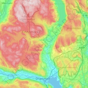
Name: Lier topographic map, elevation, terrain.
Location: Lier, Viken, Norway (59.71610 10.06200 59.97456 10.37730)
Average elevation: 928 ft
Minimum elevation: -10 ft
Maximum elevation: 2,287 ft
Other topographic maps
Click on a map to view its topography, its elevation and its terrain.