
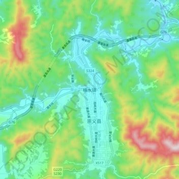
横水镇 topographic map
Interactive map
Click on the map to display elevation.
About this map
Name: 横水镇 topographic map, elevation, terrain.
Location: 横水镇, 崇义县, 赣州市, 江西省, 中国 (25.66044 114.26089 25.74044 114.34089)
Average elevation: 1,273 ft
Minimum elevation: 689 ft
Maximum elevation: 2,667 ft
Other topographic maps
Click on a map to view its topography, its elevation and its terrain.