
思顺乡 topographic map
Interactive map
Click on the map to display elevation.
About this map
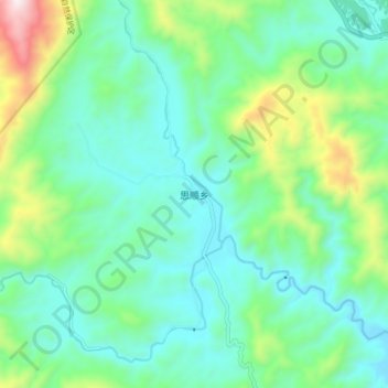
Name: 思顺乡 topographic map, elevation, terrain.
Location: 思顺乡, 崇义县, 赣州市, 江西省, 中国 (25.76972 114.09857 25.84972 114.17857)
Average elevation: 1,368 ft
Minimum elevation: 673 ft
Maximum elevation: 3,560 ft
Other topographic maps
Click on a map to view its topography, its elevation and its terrain.