
崇义县 topographic map
Interactive map
Click on the map to display elevation.
About this map
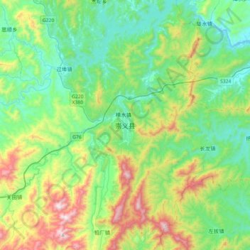
Name: 崇义县 topographic map, elevation, terrain.
Location: 崇义县, 赣州市, 江西省, 中国 (25.52653 114.14318 25.84653 114.46318)
Average elevation: 1,506 ft
Minimum elevation: 482 ft
Maximum elevation: 4,222 ft
Other topographic maps
Click on a map to view its topography, its elevation and its terrain.