Geolocate

Satelite topographic map

Click on the map to display elevation.

About this map

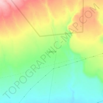
Name: Satelite topographic map, elevation, terrain.

Location: Satelite, Nakuru, Kenya (-1.00490 36.45420 -0.96490 36.49420)

Average elevation: 6,010 ft

Minimum elevation: 5,709 ft

Maximum elevation: 6,434 ft

Other topographic maps

Click on a map to view its topography, its elevation and its terrain.

Njoro

Kenya > Nakuru

Average elevation: 7,917 ft

Olkaria ward

Kenya > Nakuru > Naivasha

Average elevation: 6,388 ft

Lake Naivasha

Kenya > Nakuru > Lake Naivasha Simba Lodge

Average elevation: 6,220 ft

Gear up for your next adventure:

🧥Waterproof Jacket for Hiking - Breathable and rugged rain jacket for outdoor excursions
🥾Men's Hiking Boots - Durable, waterproof footwear for rugged terrain and steep inclines
🪶Multi‑Purpose Knife - Useful blade for camp and trail
📡Handheld GPS Device - Reliable handheld GPS for outdoor navigation
👟Trail Running Shoes - Lightweight shoes for trail runners

As an Amazon Associate, this site earns from qualifying purchases at no extra cost to you.