
流溪河 topographic map
Interactive map
Click on the map to display elevation.
About this map
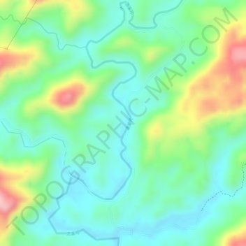
Name: 流溪河 topographic map, elevation, terrain.
Location: 流溪河, 从化区, 广州市, 广东省, 中国 (23.84440 113.83874 23.86109 113.84645)
Average elevation: 840 ft
Minimum elevation: 623 ft
Maximum elevation: 1,266 ft
Other topographic maps
Click on a map to view its topography, its elevation and its terrain.