
Udall topographic map
Click on the map to display elevation.
About this map
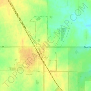
Name: Udall topographic map, elevation, terrain.
Location: Udall, Cowley County, Kansas, United States (37.38237 -97.12831 37.39965 -97.10527)
Average elevation: 1,260 ft
Minimum elevation: 1,204 ft
Maximum elevation: 1,299 ft
Cowley County trails, hiking, mountain biking, running and outdoor activities
Other topographic maps
Click on a map to view its topography, its elevation and its terrain.
Arkansas City
United States > Kansas > Cowley County > Arkansas City > Arkansas City
Average elevation: 1,112 ft