
岳池县 topographic map
Interactive map
Click on the map to display elevation.
About this map
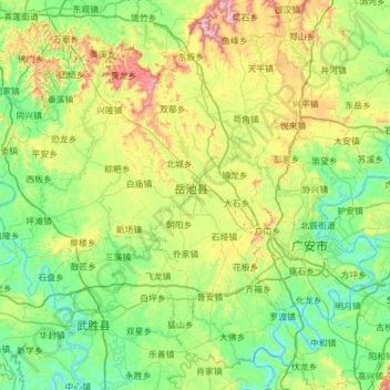
Name: 岳池县 topographic map, elevation, terrain.
Location: 岳池县, 广安市, 四川省, 中国 (30.26069 106.11921 30.79044 106.71803)
Average elevation: 1,181 ft
Minimum elevation: 663 ft
Maximum elevation: 2,641 ft
Other topographic maps
Click on a map to view its topography, its elevation and its terrain.