
凉山乡 topographic map
Interactive map
Click on the map to display elevation.
About this map
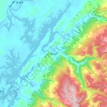
Name: 凉山乡 topographic map, elevation, terrain.
Location: 凉山乡, 广安市, 四川省, 中国 (30.08187 107.00967 30.16187 107.08967)
Average elevation: 1,427 ft
Minimum elevation: 935 ft
Maximum elevation: 2,841 ft
Other topographic maps
Click on a map to view its topography, its elevation and its terrain.