
建始县 topographic map
Interactive map
Click on the map to display elevation.
About this map
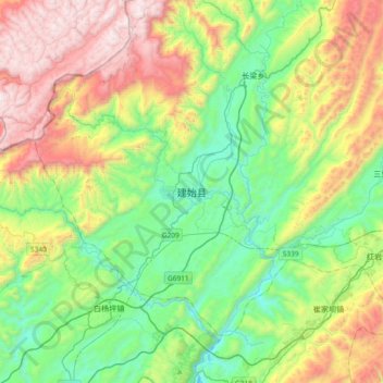
Name: 建始县 topographic map, elevation, terrain.
Location: 建始县, 恩施土家族苗族自治州, 湖北省, 中国 (30.44475 109.55723 30.76475 109.87723)
Average elevation: 3,340 ft
Minimum elevation: 1,467 ft
Maximum elevation: 6,824 ft
Other topographic maps
Click on a map to view its topography, its elevation and its terrain.