
官店镇 topographic map
Interactive map
Click on the map to display elevation.
About this map
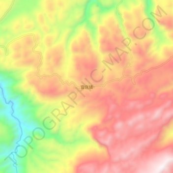
Name: 官店镇 topographic map, elevation, terrain.
Location: 官店镇, 建始县, 恩施土家族苗族自治州, 湖北省, 中国 (30.20029 110.00153 30.28029 110.08153)
Average elevation: 4,656 ft
Minimum elevation: 2,129 ft
Maximum elevation: 6,703 ft
Other topographic maps
Click on a map to view its topography, its elevation and its terrain.