
Lucan topographic map
Click on the map to display elevation.
About this map
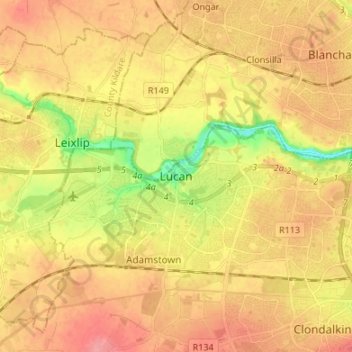
Name: Lucan topographic map, elevation, terrain.
Average elevation: 194 ft
Minimum elevation: 39 ft
Maximum elevation: 295 ft
Other topographic maps
Click on a map to view its topography, its elevation and its terrain.
Baldoyle
Ireland > County Dublin > Sutton
A description of Baldoyle from Lewis's Topographical Dictionary of Ireland (Dublin, 1837) gives a useful summary of what was then a substantial rural fishing village.
Average elevation: 7 ft
Dundrum and Glencullen Dispensary District
Ireland > County Dublin > Ballyogan
Average elevation: 502 ft
Dublin Castle
Ireland > County Dublin > Dublin
The Poddle was diverted into the city through archways where the walls adjoined the castle, artificially flooding the moat of the fortress's city elevations. One of these archways and part of the wall survive buried underneath the 18th-century buildings, and are open for public viewing.
Average elevation: 52 ft
Lambay Island
Lambay Island is the largest island off the east coast of Ireland. It covers about 2.5 km2 (0.97 sq mi). The highest point – a hill known as Knockbane – rises to 126 m (413 ft). The island's high ground lies to the east and aside from Knockbane includes Heath Hill and Tinian Hill, and in the extreme…
Average elevation: 46 ft
Clondalkin, Lucan and Palmerston Parish
Ireland > County Dublin > Clondalkin
Average elevation: 230 ft
Swords
At the northern end of the street stands Swords Castle, 200m northeast of the ecclesiastical site, which was built in the early 13th century. A short distance north of the castle is the elevation known as Spittal Hill, where a hospital once stood.
Average elevation: 79 ft